Extract CAD & GIS Points Instantly
Cadastral Point Extractor is a professional desktop tool for Windows that saves surveyors, engineers, and GIS analysts hours of tedious work. Automatically extract vertices or manually add points with snapping, then export to DXF, Shapefile, or CSV.
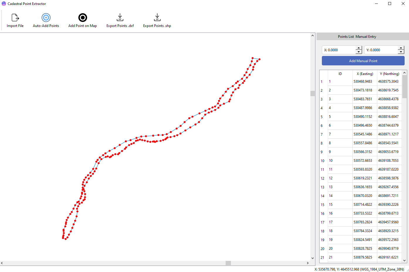
Powerful & Focused Features
Broad File Support
Import geometry from standard ESRI Shapefiles (.shp) and AutoCAD DXF files (.dxf) with a single click.
Automatic Extraction
Instantly extract every vertex from all lines and polygons in your file, capturing every corner and break point.
Precision Manual Entry
Manually add, edit, and manage points with an interactive map canvas featuring vertex and segment snapping.
Professional Export
Export your point list to survey-ready DXF, GIS-compatible Shapefiles, or simple CSV files for use in any software.
Organized Point Lists
View all your points in a clean, organized table. Double-click any point to instantly zoom to its location on the map.
Modern Desktop UI
A clean, responsive, and intuitive user interface built for Windows that makes your workflow fast and efficient.
Get the Pro Version
Cadastral Point Extractor Pro
A perpetual license with lifetime updates. No subscriptions.
- Unlimited Automatic Point Extraction
- Export to DXF, Shapefile & CSV
- Precision Manual Point Creation
- Commercial Use License
- Lifetime Updates for Version 1.x
- Priority Support
Secure payment processed by PayPal.